
Arctus Aerospace, a Bengaluru-based aerospace startup working on advanced unmanned aircraft, has raised $2.6 million in pre-seed funding, marking a significant milestone for India’s emerging deep-tech ecosystem. Founded by Shreepoorna S Rao, the company is building high-altitude, long-endurance aircraft designed to fly at 45,000 feet and remain airborne for up to 24 hours. This positions Arctus among a very small number of global players developing aircraft in this class.
The funding round drew participation from a mix of venture capital firms and experienced angel investors. Backing came from Version One Ventures, South Park Commons, and gradCapital, along with individual investors such as Balaji Srinivasan and Srinivas Narayan, as well as early engineers from Ather Energy and leaders associated with Bounce Infinity and Boom Supersonic. Their involvement reflects a strong belief in the technical depth and potential market impact of the platform Arctus is building.
Building Aircraft Designed for the Stratosphere
At the core of Arctus’s mission is a new category of unmanned aircraft. These systems are being engineered to operate at altitudes traditionally dominated by satellites and military-grade platforms. By combining long-duration flights with high payload capacity, Arctus aims to bridge the gap between expensive space-based imaging and limited-range drone technology.
The payload capacity of the aircraft being developed is 250 kilograms, thus making them suitable to carry different types of sensing technologies. These technologies might be synthetic aperture radar, hyperspectral cameras, optical and electro-optical systems, and infrared imaging devices. In combination, such sensors give the platform the ability to obtain comprehensive, multi-dimensional images of the planet at a fraction of the cost and with more flexibility than traditional methods can provide.
This combination of endurance, altitude, and sensor diversity places Arctus in a promising position within global Earth observation markets where demand for frequent, high-precision data continues to accelerate.
Also Read: Why ‘120 Bahadur’ Is Facing a Boycott?
Making High-Resolution Data More Accessible
One of the main points that the Arctus method is less than a hundred is the price. Areas can be imaged from space instruments are usually very costly because of a variety of factors involved in the process such as launching, maintenance, and operational costs. Arctus is committed to cutting down this obstacle to a large extent. The agency estimates that its platform can accomplish the task of imaging a region of about 500 square kilometres for a little over $500, whereas the same area would cost almost $10,000 to be imaged by satellites.
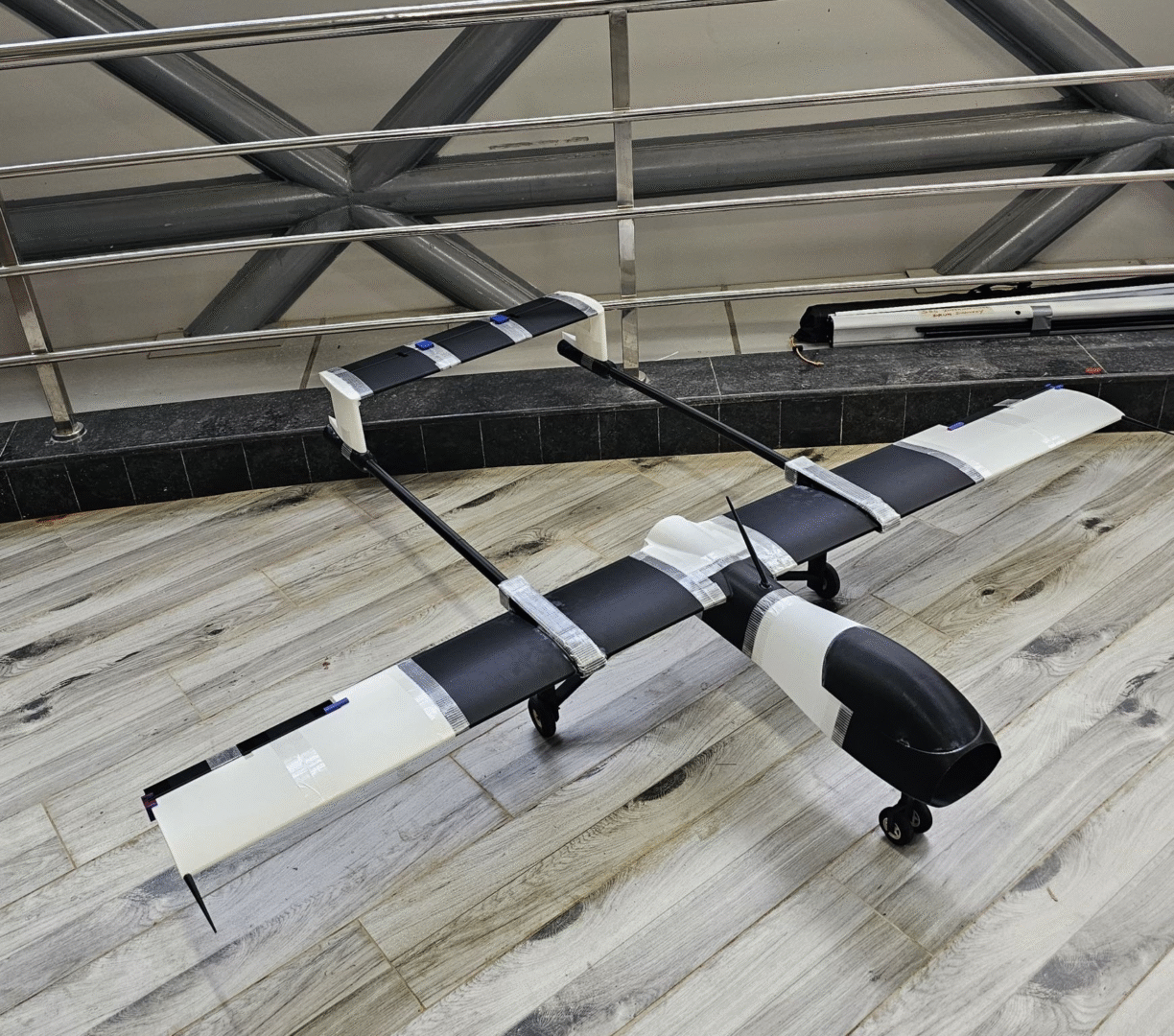
The aircraft is also expected to operate at approximately $100 per hour, opening the door to more frequent and more flexible monitoring across industries. This cost-efficiency makes the technology applicable to a wide range of real-world needs, including monitoring energy infrastructure and utilities, tracking environmental and climate-related changes, supporting agricultural planning and land management, assessing disaster impact and enabling rapid response, and overseeing construction and large-scale development projects.
By offering accessible, high-frequency data, Arctus plans to make detailed geospatial intelligence available to organisations that previously found such capabilities financially out of reach.
Progress from Their Bengaluru Hub
The company has already begun operating aircraft that fly above 10,000 feet, producing centimetre-level accuracy in imaging and data capture. These flights demonstrate the early stages of what Arctus ultimately aims to achieve as it moves toward higher altitudes and longer endurance capability.
Their operations are supported by a 25,000-square-foot facility in Bengaluru, which serves as the centre for manufacturing, assembly, and testing. This setup allows the team to refine aircraft design, integrate sensing systems, and conduct flight trials in a controlled, scalable environment.
Arctus’s involvement with the South Park Commons Founder Fellowship is another instance that the company is going full speed. The program has a reputation for spotting and backing such early-stage teams, which venture into solving daring, intricate problems of technology.
A Future Without Traditional Earth Monitoring Limits
The long-term vision for Arctus focuses on “zero-infrastructure Earth intelligence.” This means enabling high-quality Earth observation without reliance on large, costly ground stations or complex satellite networks. By creating a flexible aircraft-based system, Arctus hopes to offer continuous, on-demand monitoring for industries and organizations globally.
If this vision materializes, the company could help reshape how land, climate, and infrastructure are observed, making real-time geospatial awareness more accessible than ever before.
Positioned for Global Relevance
Out of the few companies that seriously take the challenge worldwide, Arctus Aerospace as a young company is very conspicuously trying to reinvent aerial intelligence. Building on solid technical bases, ambitious engineering, and fresh capital, the startup is thus in a good position to propel its platform towards commercialization and wider use.
The company is only at its seed stage with Arctus, but the startup’s progress is a strong indicator of a major change in the next generation of sensing and Earth monitoring technologies that can be developed and delivered in a more flexible way and at a more sustainable cost.
Also Read: Fintech startup AxiTrust raises ₹23.5 crore seed round led by General Catalyst